Professional Nautical Chart Data Services
With decades of experience in maritime software and hydrographic data processing,
Siitech Marine Inc. offers comprehensive data services to help you leverage nautical chart information for your unique needs.
Our Data Services
Tide & Current Data
Accurate tide and current data delivered as chart overlays for safe navigation, route planning, and timing decisions.
- Tide heights, current speeds, and slack water
- High/low tide events, sunrise/sunset, moon phase
- Station-level interaction with predictive graphs
- Mobile-optimized delivery via live connection
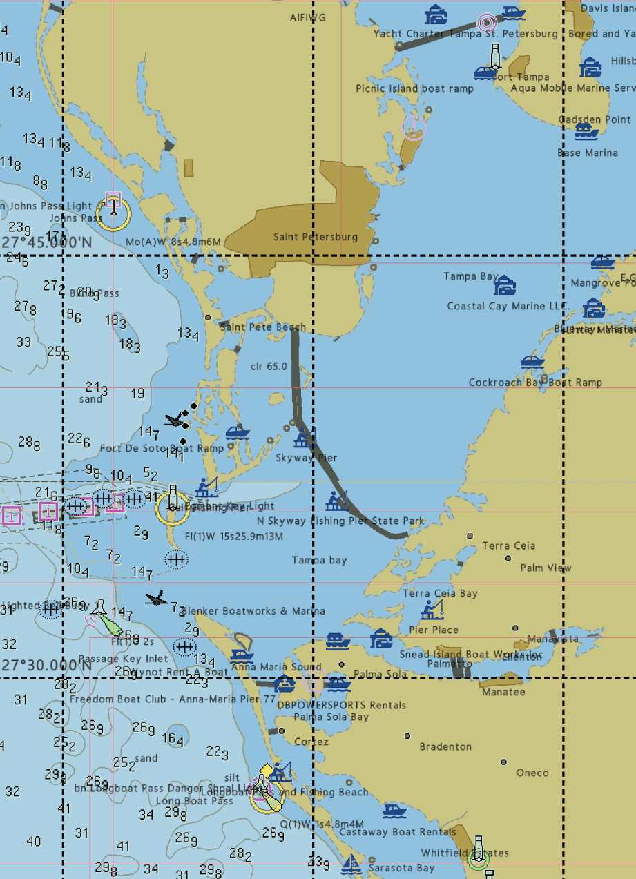
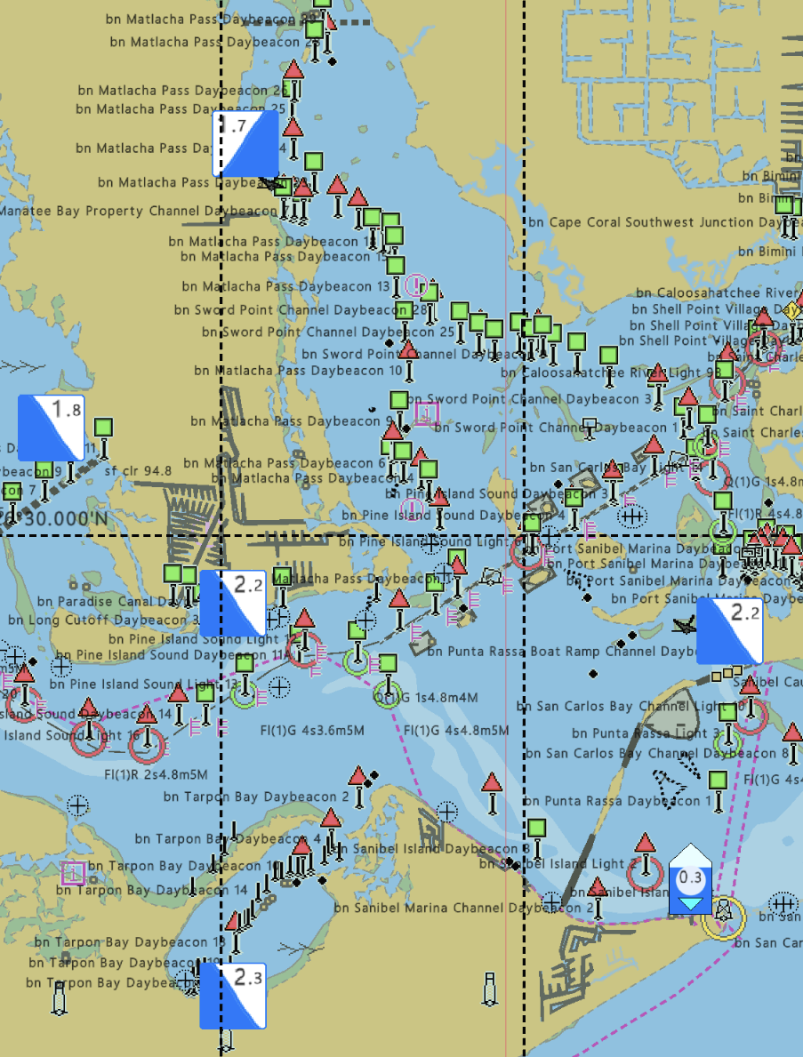
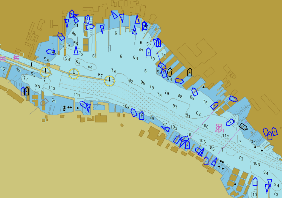
Points of Interest (POI) Data
Marine-focused POIs that enrich charts and add essential context for safer, smarter navigation.
- Ports, marinas, anchorages, services, landmarks
- Chart-based overlays with category filtering
- Interactive POI detail views in-chart
- Independent update cycles and regional tuning
AIS Data
Real-time AIS vessel traffic delivered as a live chart overlay for immediate situational awareness.
- Worldwide AIS coverage, subject to availability
- No onboard AIS equipment required
- Proximity-based filtering (e.g., 30 nm radius)
- Optimized for mobile and web delivery
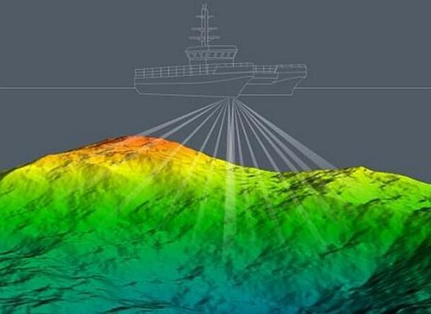
Survey Data
Hydrographic survey and bathymetric datasets that complement enc-based marine charts and support analysis, visualization, and decision-making.
- Available for selected regions and use cases
- Licensed access with availability constraints
- Ideal for planning, research, and modeling