Global Marine Chart Data Platform for Navigation Apps
Vector marine charts derived from Hydrographic Office ENC datasets and optimized for modern mobile navigation applications
Global coverage. Simple licensing. Fixed pricing.
From USD $5 per country per year.
The Infrastructure for Your Marine App
Developer-First
Built by engineers at Siitech Marine Inc. for fast integration into mobile navigation apps. A production-ready iOS Chart SDK, clear documentation, and sample projects to get you started quickly. Already integrated by leading mobile navigation platforms.
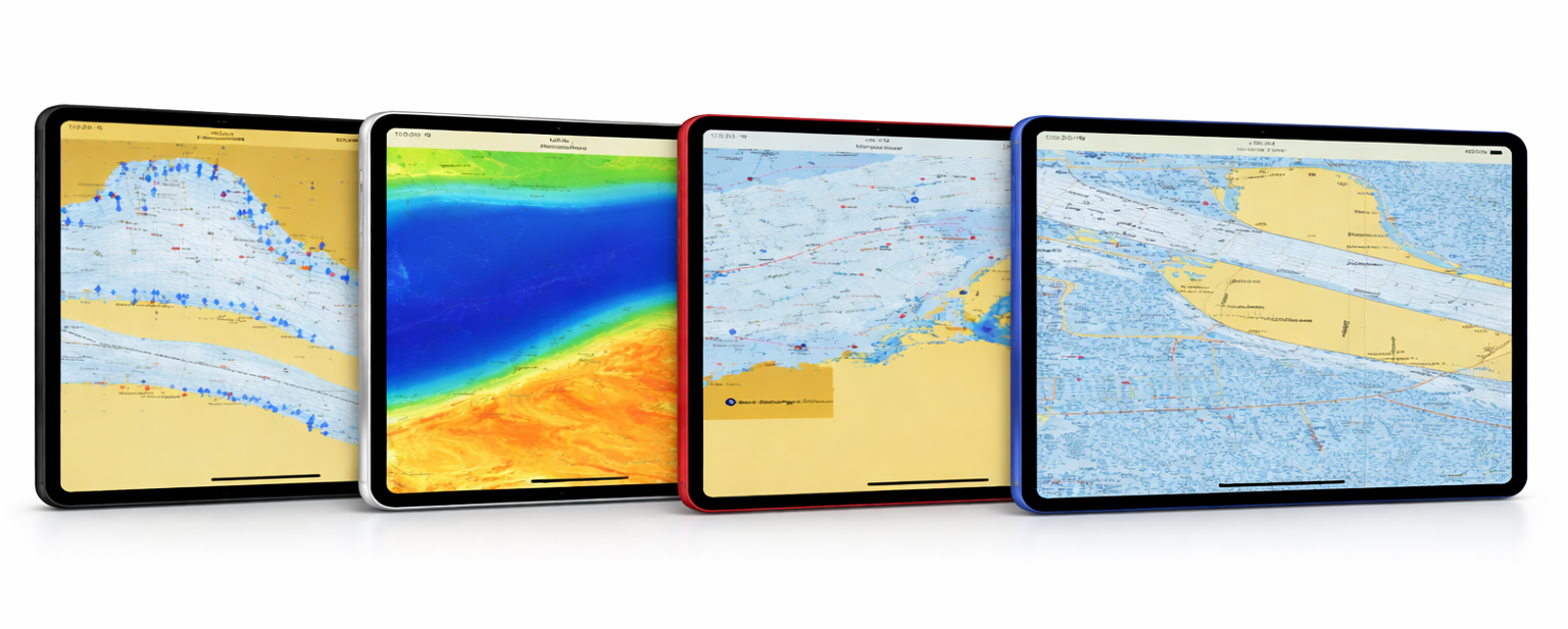
ENC-Based Vector Marine Charts
Licensed from 45+ national Hydrographic Offices worldwide, SiiChartlet provides vector marine charts derived from S-57 ENC datasets. The charts are optimized for mobile navigation applications and continuously expanded to support global coverage. Hydrographic-quality chart data is processed and delivered through the SiiChartlet platform to enable reliable chart integration for modern marine navigation apps.
Scalable Pricing for Mobile Navigation Apps
A low per-user licensing fee, combined with national chart coverage starting at USD $5 per country per year, enables developers to scale their navigation applications efficiently. This flexible model allows developers to offer marine charts to end users at their own retail price while maintaining predictable licensing costs. No hidden fees. No unnecessary complexity.
Future-Ready Chart Technology
Siitech Marine is actively preparing for the IHO S-100 framework, including next-generation S-101 ENC standards, ensuring a smooth transition as new S-57-based vector chart products become available.